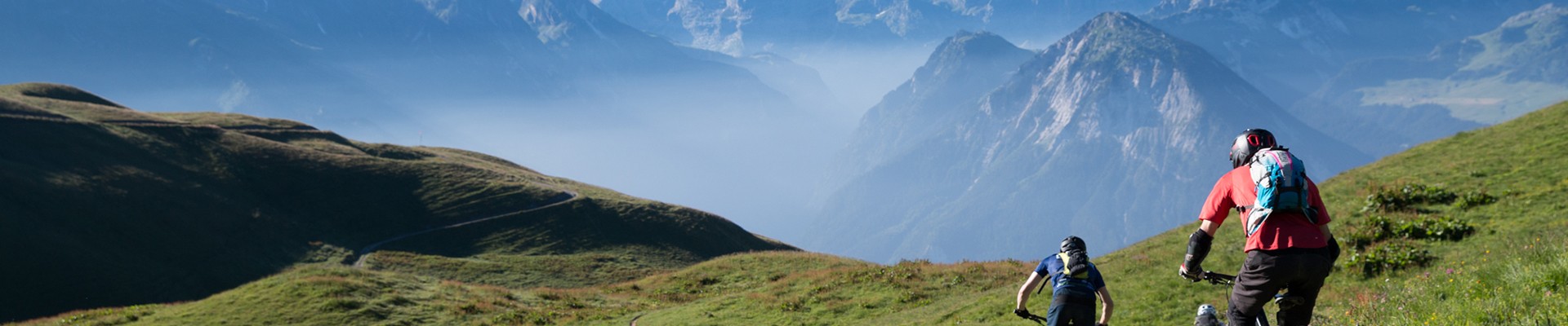
La Duy loop
Bozel Hiking itineraryArray
Daily duration (minutes)
:
170
Distance (km)
:
4.6
Route
:
450
Level red ? hard

 Departure/Arrival
 Point of interest
Circuit n° 1
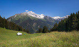
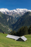
- Environment :
- Mountain location
Informations
- SITRA services :
- Distance (km) 4.6
- Route
- Route 1720
- Services :
- Pets welcome
- Parking :
- Car park
Informations
La Duy loop
Tincave
73350
Bozel
Phone : +33 4 79 55 03 77
Presentation
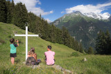
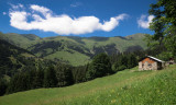
Really nice panorama and if you wish to go further you can go to "Le Chatelard" to see some rocks with small cavities from the Neolithic era.
At the top of Tincave where the road becomes a forest trail take the direction of Champagny en Vanoise. Just before the barns of Chatelard the path goes up in zig-zags in direction of “la Duy” come down by the dirt road towards “le Pré” and Tincave.
OuverturesFrom 01/04 to 30/11.
Pics
Pics


Linked offer
Located at the start
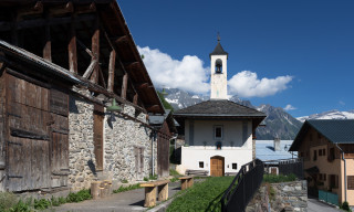
Bozel
Located at 6 km from Bozel, Tincave (1300 m height) has got nearly 50 resident. This hamlet has got its Chapel Saint Bernard of Menthon and also some ...