
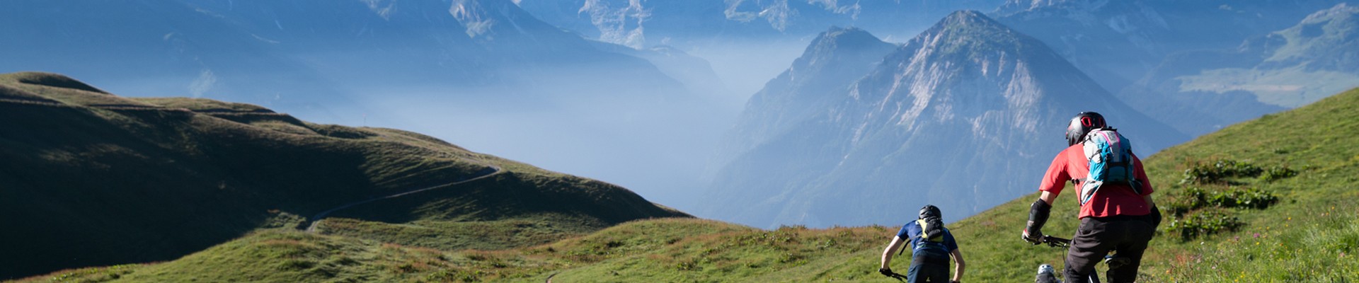
Mont Jovet A/R (from Villard of Montagny)
Montagny, Aux alentours Hiking itinerary
Route
:
Aller / Retour
Daily duration (minutes)
:
560
Distance (km)
:
21
Route
:
1450
Level black - very hard

 Departure/Arrival
 Point of interest
Circuit n° 1
Parking Lot at the Top of the Village
- Environment :
- Mountain location
Informations
- SITRA services :
- Route
- Route 2558
- Parking :
- Car park
- SITRA services :
- Services
Download
Informations
Mont Jovet A/R (from Villard of Montagny)
Parking sommet du village
Le Villard
73350
Montagny
Phone : +33 4 79 55 03 77
Presentation
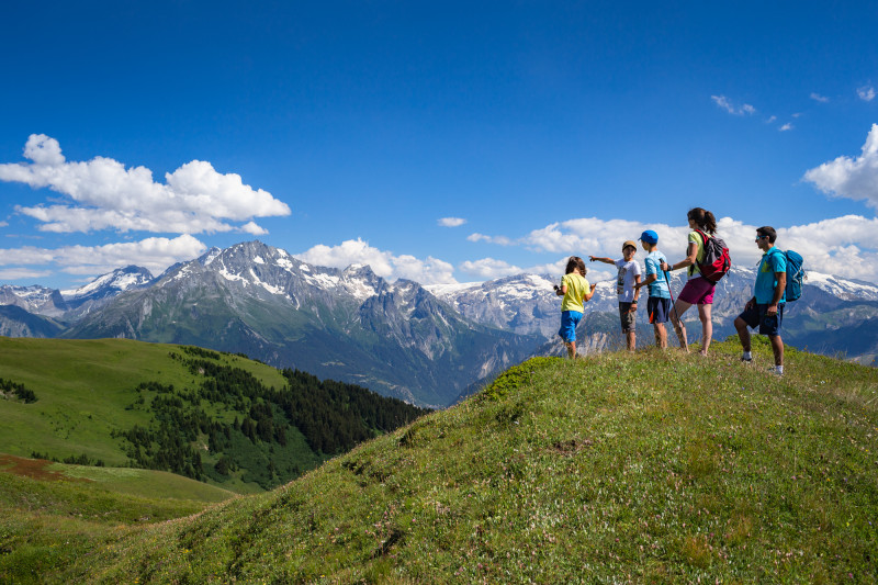
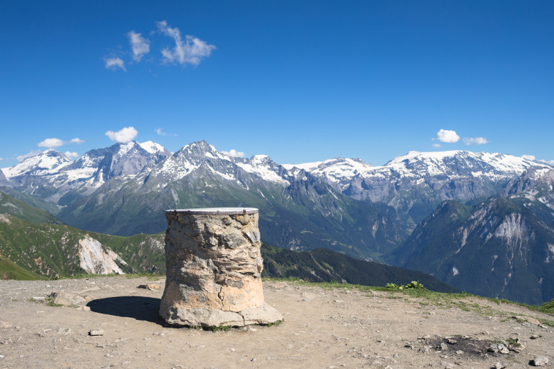
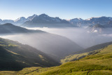
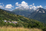
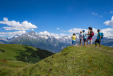
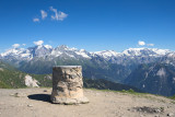
Nice view at the top with 360° to the Mont Blanc, the Vanoise and the Ecrins
Itinerary:
Interest :
You will have a nice view at the top with 360° to the Mont Blanc, the Vanoise Massive and the Ecrins.
Interest :
You will have a nice view at the top with 360° to the Mont Blanc, the Vanoise Massive and the Ecrins.
Security
Take the weather forecast before leaving.
Don’t forget to drink to eat and have a break.
Equipment
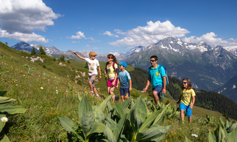
Equip yourself with good shoes and clothes well suited for mountains.
Carry IGN map. This map is provided for information purposes only.
Good behaviour
Stay on track.
Respect the environment .
Be careful with herds, keep your dog on leash.
Be careful with your waste, bring it back with you.
Take the weather forecast before leaving.
Don’t forget to drink to eat and have a break.
Equipment
Equip yourself with good shoes and clothes well suited for mountains.
Carry IGN map. This map is provided for information purposes only.
Good behaviour
Stay on track.
Respect the environment .
Be careful with herds, keep your dog on leash.
Be careful with your waste, bring it back with you.
OuverturesFrom 01/06 to 31/10 daily.
Depending on snow confition.
Depending on snow confition.
To know
Topos pas à pas1/ From the parking lot, take the flat trail marked for Moranche (do not take the trail to Moranche via the wayside shrine—that will be your return route).
2/ The trail then winds upward and rejoins, for just a few meters, the road leading up toward Les Champs.
3/ After the hairpin turn, return to the trail toward Moranche through the woods.
4/ In Moranche, walk up the path through the village, then take the trail toward Mont Jovet to reach the Cave de Combe Louve.
5/ Then follow the signs toward Mont Jovet.
6/ On the way down, starting from Moranche, you can take the Oratoire trail.
2/ The trail then winds upward and rejoins, for just a few meters, the road leading up toward Les Champs.
3/ After the hairpin turn, return to the trail toward Moranche through the woods.
4/ In Moranche, walk up the path through the village, then take the trail toward Mont Jovet to reach the Cave de Combe Louve.
5/ Then follow the signs toward Mont Jovet.
6/ On the way down, starting from Moranche, you can take the Oratoire trail.
Alerte visiteursWe advise you to keep your dog on a leash due to the presence of livestock and in order to protect wildlife.
Interactive map to locate guard dogs in Savoie: https://www.pasto-kezako.fr/mappatou/
Interactive map to locate guard dogs in Savoie: https://www.pasto-kezako.fr/mappatou/
Photos
Photos

Linked offer
Montagny
There’s a lot of high mountain pasture village on the sunny side of Montagny : Moranche, Pracepaix, la Balme, la Challe, Champruel, le Mont, les ...
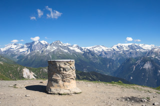
Bozel
The panorama offers a view of the Ecrins as well as the Cervin, with the Mont Blanc and the Vanoise domes in the foreground. Enjoy the autentic ...
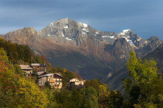
Montagny
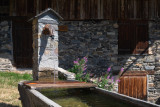
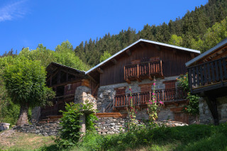
Located at 1100 meters, le Villard is a small traditional village with its tight streets, with the St Roch chapel and a water container.
Useful address
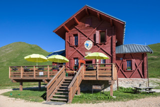
Bozel
Come and enjoy the breathtaking panorama from the recently restored Mont Jovet refuge.
Guarded in summer, it is ideal for a discovery with family, ...