Plaissette’s loop
Montagny, Aux alentours Hiking itinerary
Route
:
BOUCLE
Daily duration (minutes)
:
20
Distance (km)
:
1.3
Route
:
60
Level green ?very easy

 Departure/Arrival
 Point of interest
Circuit n° 1
Parking in the bend near the bar/restaurant
- Environment :
- Village centre
- Mountain location
Informations
- SITRA services :
- Route
- Route 1030
- Parking :
- Car park
- SITRA services :
- Services
Informations
Plaissette’s loop
Rue de la Combe de l'Adret
Parking dans le virage après le Bar/Restaurant
73350
Montagny
Phone : +33 4 79 55 03 77
Presentation
Itinerary: You will find the path’s sign in the curve just after the Bar/restaurant. When you will be back on the road take right to back up at the parking.
Easy hike for all the family.
Easy hike for all the family.
Follow the signs around the bend after the bar/restaurant. Back on the road leading to the housing estate, take the road uphill on your right.
Security
Take the weather forecast before leaving.
Don’t forget to drink to eat and have a break.
Equipment
Equip yourself with good shoes and clothes well suited for mountains.
Carry IGN map. This map is provided for information purposes only.
Good behaviour
Stay on track.
Respect the environment .
Be careful with herds, keep your dog on leash.
Be careful with your waste, bring it back with you.
OuverturesAll year round daily.
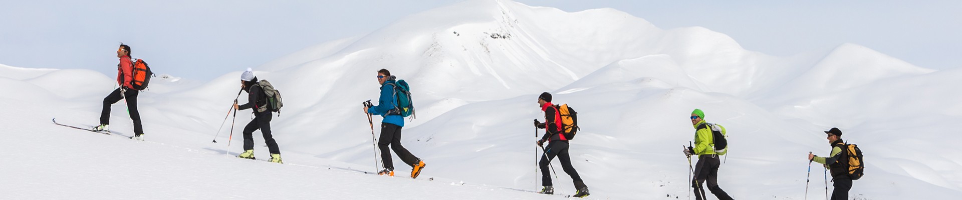
Hike possible to do with snowshoes in winter.
Hike possible to do with snowshoes in winter.
To know
Topos pas à pasDeparture: From the car park located in the bend after the bar/restaurant.
1/ Follow the signs for ‘Boucle des plaissettes’.
2/ Back on the road leading to the housing estate, take the road uphill on your right.
1/ Follow the signs for ‘Boucle des plaissettes’.
2/ Back on the road leading to the housing estate, take the road uphill on your right.
Alerte visiteursThis hike is accessible with a dog, but we advise you to keep your dog on a lead throughout the entire route. This helps to protect wildlife, preserve flora and ensure the peace and quiet of other hikers.
Pics
Pics

Linked offer

Montagny
The actual Saint Germain church was built in 1899 in a neo-gothic style. It hosts the Organ of Clément Dumont from 1832-1834 which is classified as a...
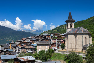
Montagny
Located at 1050 meters, it is the main village where you can find the town office and a restaurant. You can see the St Germain church with its Organ, ...