Parchit pass (variation from Pré Benoit)
Feissons sur Salins Hiking itinerary
Route
:
BOUCLE
Daily duration (minutes)
:
60
Distance (km)
:
5.2
Route
:
220
Level bue - easy

 Departure/Arrival
 Point of interest
Circuit n° 1
- Environment :
- Mountain location
Informations
- SITRA services :
- Route
- Route 1723
- Parking :
- Car park
- SITRA services :
- Services
Download
Informations
Parchit pass (variation from Pré Benoit)
73350
Feissons-sur-Salins
Phone : +33 4 79 55 03 77
Presentation
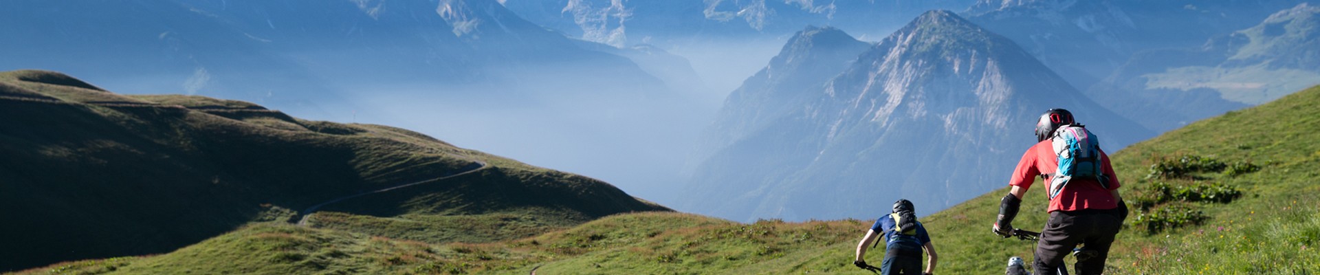
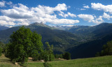
A variation from Pré Benoit where you can reach the Parchit Pass with the view on Mont Blanc.
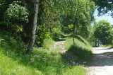
From Pré Benoit take the trail to the Mont Jovet through the forest until the Parchit pass.
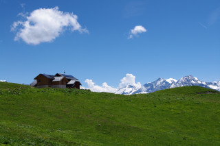
At the pass, you will have a beautiful view on the Mont Blanc facing you.
Going down by the same way and take the path that goes to Grand Pré, it will cross the truck road, keep going to la Chal where you will find the route to return to Feissons.
At the pass, you will have a beautiful view on the Mont Blanc facing you.
Going down by the same way and take the path that goes to Grand Pré, it will cross the truck road, keep going to la Chal where you will find the route to return to Feissons.
OuverturesFrom 01/01 to 31/12.
Subject to snow conditions.
Subject to snow conditions.
Pics
Pics


Linked offer
Course
Route Aller / Retour
-
Type of itinerary :
-
Levels of sporting experience :
- Level red – hard
-
Duration :
- 1 day
-
SITRA services :
- Distance (km) 21.7
- Route 1300
