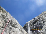
Big rock climb : Vendredi 13, contreforts du Grand Bec
Presentation
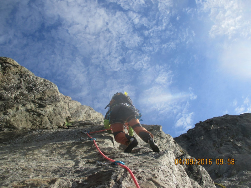
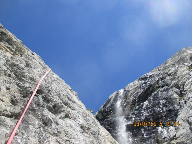
Located in the foothills of the Grand Bec, it follows a waterfall under the imposing face of the Grand Bec
• Activities: High mountain rocks, climbing
• Altitude min / max: 1850m / 2800m
• Altitude of the beginning of the difficulties: 2650m
• Elevation of approach: 950m
• Configuration: face • Main orientation: South
• Route type: loop or abseiling in the climing route
• Travel time: 1 day. Overnight stay at Grand Bec Refuge
• Overall rating: D
• Engagement : I
• Quality of equipment in place: P1
• Free quotation> oblig. : 5b> 4c
IGN Map: Vanoise Savoie France Savoie: IGN 3534OT The Three Valleys - Modane - Vanoise National Park
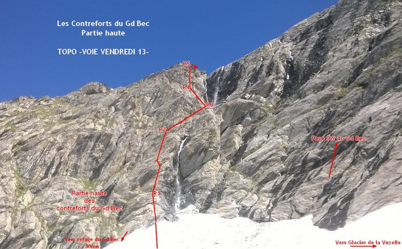
The way: 6 lengths
L1 25m: 4c and 1 step of 5a.
L2 30m: 1 step of 5c at the beginning then 5+
L3 25m: 4b
L4 25m: 5a - 4b max
L5 25m: 5b with 1 step + difficult
L6 50m: easy route 3 and 2 max
Material:
• Climbing on the big sports track
• 1x50m rope
• 12 to 15 quickdraw
Descent
• Possibility of abseiling in the lane (link in place). L6 in de-escalation.
• Possibility also to go back down the climbing route giving access to the W edge
from the Grand Bec.
• It is also possible to access the west ridge of the Grand Bec from the exit of the track "Friday the 13th" by an easy and obvious way. Approximately 15 minutes.
Notes:
• Climbing route taking place in a high mountain area.
• At the beginning of the season, the bottom of the first length may be partly under the snow. It is however easy to access the track.
• The name of the track "Friday 13" is a tribute to the victims of the attacks on Friday November 13, 2015 in Paris (path started the day after this sad event)
Approach
• Departure from Planfournier terminal parking 1850m.
• Direction Refuge du Grand Bec
• From the refuge of Grand Bec, go towards the glacier of Vuzelle by the path
passing near the old refuge.
• After the flat, follow the cairns and the path that continues on a steep moraine.
The departure of the track is at the highest point of the foothills of the Grand Bec, just before the intersection of the South West face of Gd Bec. At the beginning of the season, cascade to the right of the track.
Site accessible according to the snow conditions and under your own responsibility.
History of the itinerary:
Opening: November 14, 2015 and July 3, 2016 - Jean-Marc Granger and David Chevassu with the help of Marie-Ange Tatoud Granger
OuverturesFrom 01/06 to 31/10.
Spring to autumn, according to snow condition and under your own responsabilities.
Spring to autumn, according to snow condition and under your own responsabilities.
Informations
- Levels of sporting experience :
- For experts / practiced
- Sections :
- Sport
- Climbing sports :
- Rock climbing site
- Climbing sports
Informations
Big rock climb : Vendredi 13, contreforts du Grand Bec
73350
Planay
Phone : +33 4 79 55 03 77
- Reception :

Destination
Escalade : Grande voie : Vendredi 13, contreforts du Grand Bec
73350
Planay
GPS coordinates
Latitude : 45.420374
Longitude : 6.742848
- Environment :
- Mountain location
- Isolated
Tarifs
Free access.


